
for equestrian landowners: environmental land mapping, sustainable track systems, grazing plans & ongoing monitoring
Coaching, environmental land mapping, sustainable track systems, grazing plans & long‑term monitoring
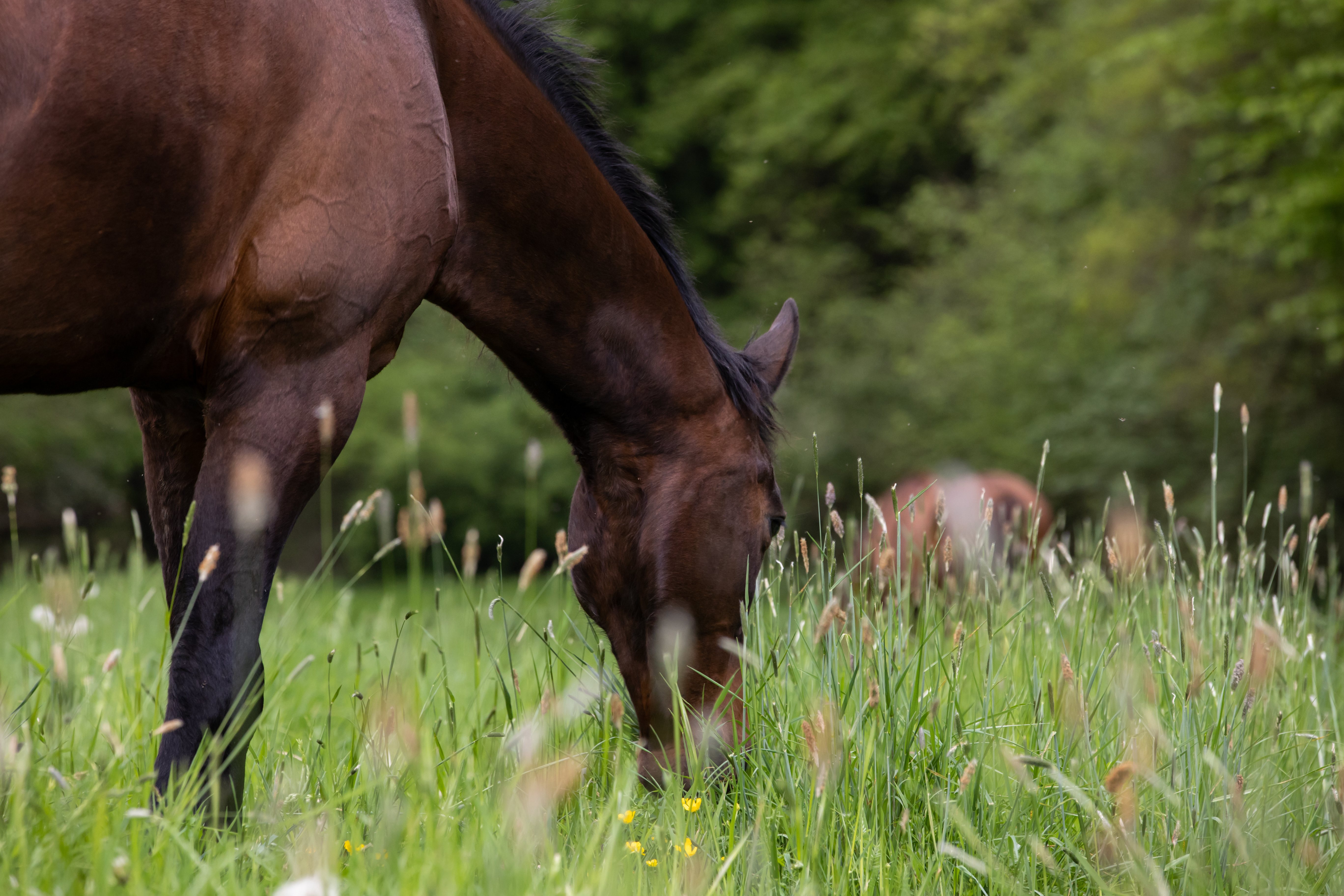
Owning or managing equestrian land comes with unique challenges — from maintaining horse welfare to protecting soil health, water, and biodiversity. Switch Equine provides a blend of coaching, ecological analysis, and professional reporting to help you design and manage land that works for both horses and nature. Whether you’re seeking practical grazing solutions, ecological restoration, or long‑term monitoring, your support is grounded in ecological science, equine welfare research, and regenerative land‑management principles.
Coaching for landowners
Coaching offers structured, ongoing support as you make changes to your land and management systems. Sessions are delivered remotely via Zoom, making them accessible wherever you are.
Each 1‑hour session provides space to explore your goals, understand your land’s constraints and opportunities, and receive clear, evidence‑based guidance. Coaching is ideal if you’re implementing new systems, navigating seasonal challenges, or wanting to build confidence in your decision‑making.
Coaching options:
- Single 1‑hour coaching session: £50
- Follow on sessions: £45
- Seasonal coaching block (4 sessions): £180
Seasonal blocks are especially valuable for landowners working through multi‑stage projects such as track installation, grazing redesign, habitat creation, or soil‑health improvement.
Remote land mapping and ecological analysis
Alongside coaching, we use advanced GIS tools and environmental datasets to build a detailed understanding of your land — even without an in‑person visit. This analysis goes far beyond layout design; it reveals the ecological processes shaping your site and informs every recommendation.
Datasets may include:
- Contour mapping (LiDAR & DTM) — understanding topography and water flow to guide track placement, laneways, and grazing rotations.
- Hillshade analysis — visualising slopes and drainage patterns for safe, sustainable design.
- Watercourse mapping — identifying rivers, streams, and waterbodies to manage access and prevent erosion.
- Soilscapes data — soil type, texture, drainage, and fertility to predict pasture productivity and poaching risk.
- Priority habitats & designated sites — ensuring compliance and protecting biodiversity.
- Aerial imagery & historical land‑use — understanding context and long‑term change.
- Floodplain mapping — identifying areas at risk and protecting infrastructure.
This information forms the foundation for tailored recommendations that integrate ecological restoration, regenerative grazing, and sustainable equine management.
What you receive
Your plan may include guidance on:
- Track systems / Paddock Paradise — designing movement‑rich, welfare‑centred systems that protect soil and vegetation.
- Tall grass grazing — supporting horse health while regenerating pasture.
- Rotational grazing — improving soil structure, biodiversity, and pasture resilience.
- Rewilding and habitat creation — integrating wildlife‑friendly approaches into equine landscapes.
- Seed mix selection — choosing species appropriate for your soil, climate, and equine needs.
Reports provide clear, actionable steps to help your land reach its full ecological and welfare potential.
Enquire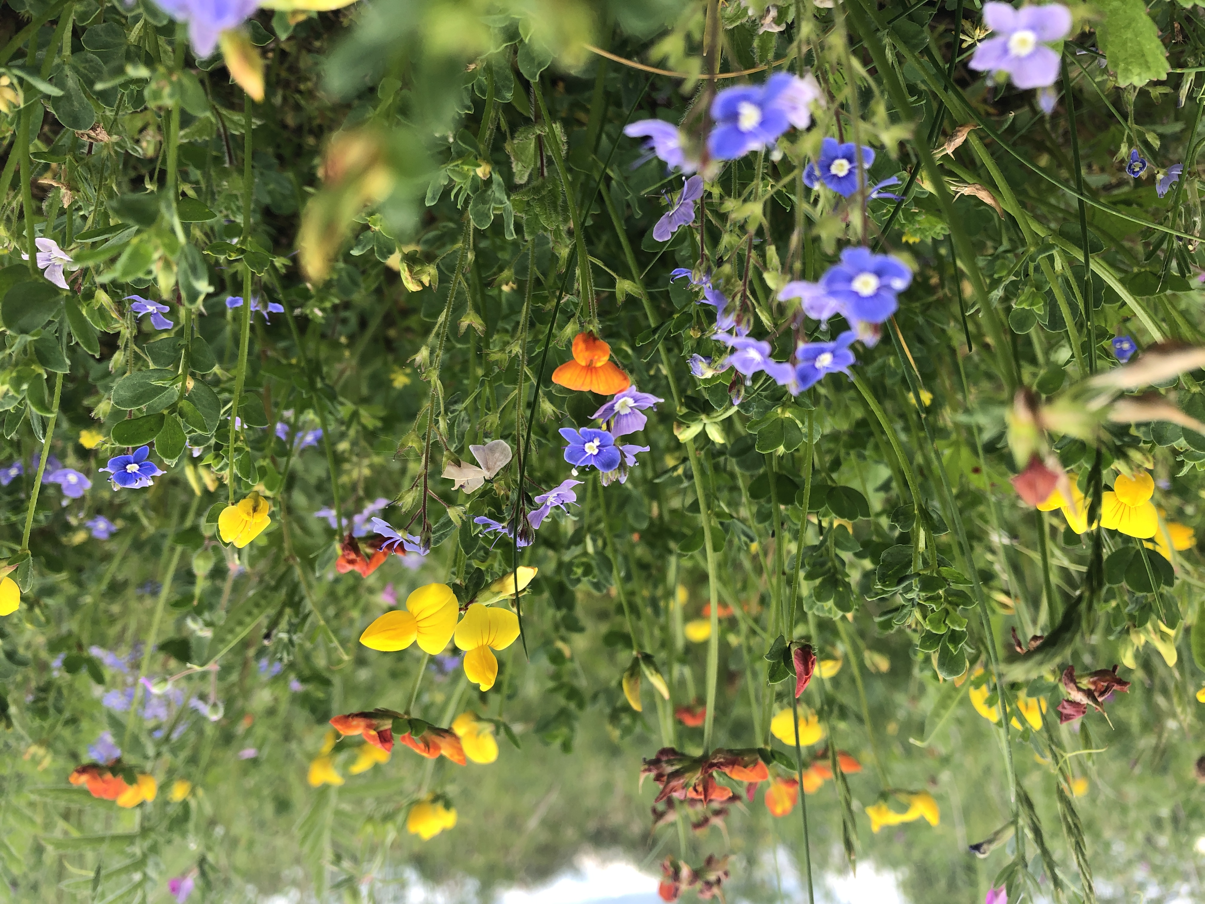
site visits (UK only)
Site visits incorporate all remote analysis plus on‑the‑ground verification and data collection:
- Ecological baselining: in line with the UK professional standard (UK Habitat Classification)
- Habitat condition assessments: in line with Defra biodiversity metric
- Site verification: of compacted or waterlogged areas
- Soil structure investigations: trial pits, water table estimates, infiltration rates (season‑dependent), compaction checks
- Microbiometer testing: fungal:bacterial balance, a key indicator of soil health and resilience
- Geotagged photos of each location for future monitoring reference
All site visits are quoted individually based on land size, complexity, and location.
Enquire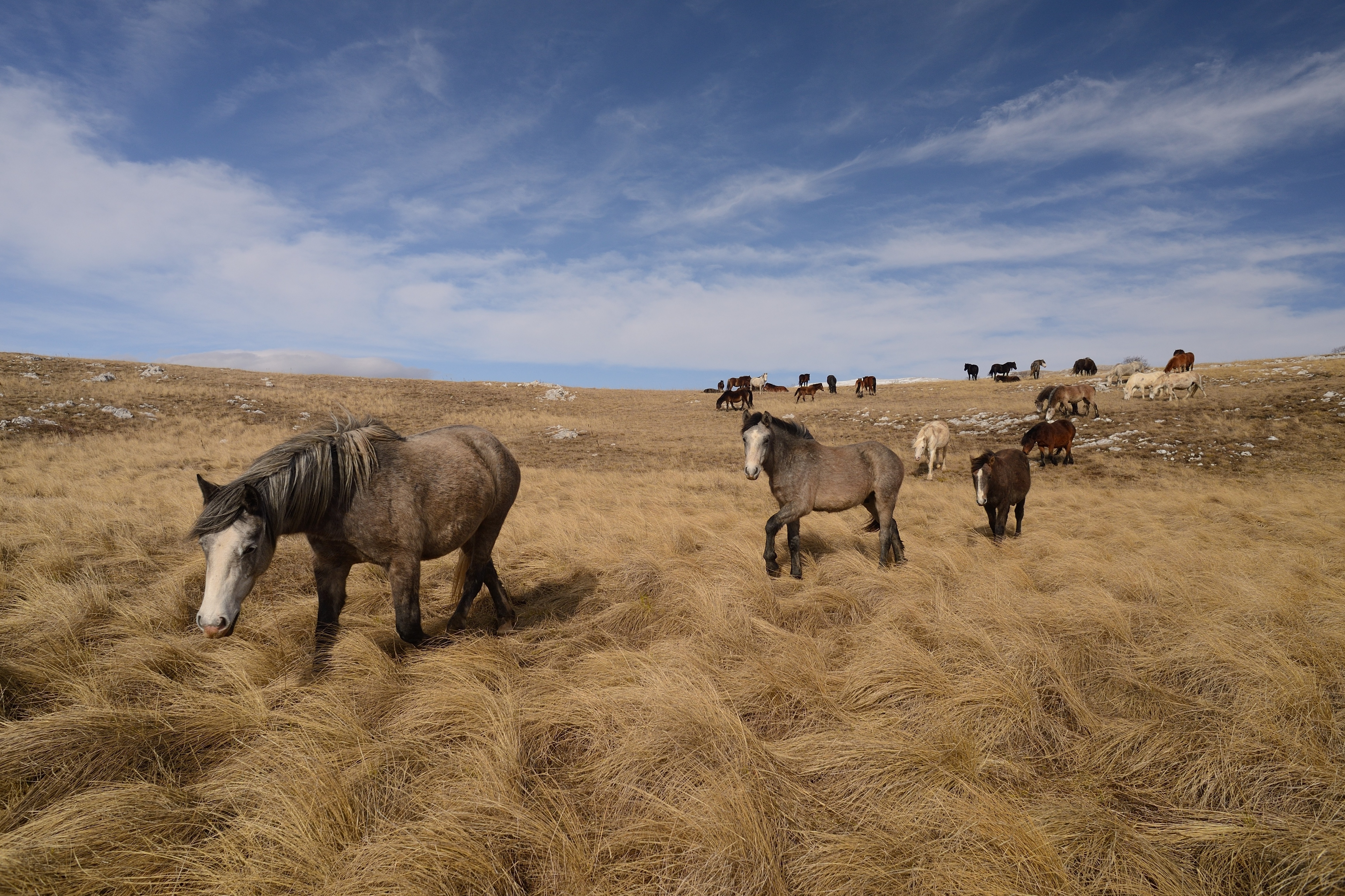
ongoing monitoring & coaching
Long‑term support helps you track improvements and adapt your management over time. Monitoring may include:
- Habitat condition assessments: Vegetation, wildlife, and ecological features
- Soil health assessments: Carbon sequestration and resilience indicators
- Long‑term land health monitoring: Short and long‑term packages available
This ensures your management decisions remain aligned with long‑term sustainability and welfare goals.
Booking your coaching or project support
Remote coaching sessions — single or block bookings — are scheduled through the resources page.
Site visits and full reporting projects are quoted individually; please enquire to discuss your land and goals.
Not sure which option is right for you?
Use the enquiry form to ask a question or outline your situation — we’ll help you choose the best pathway.
